 Version
04_2019
Version
04_2019
 Package Name
ibc.mobile.aispilot
Package Name
ibc.mobile.aispilot
 Category
Practical Tools
Category
Practical Tools
 Size
23.94MB
Size
23.94MB
Nautical Chart navigator - AIS devices connection (WiFi or Bluetooth).OpenSeaMap
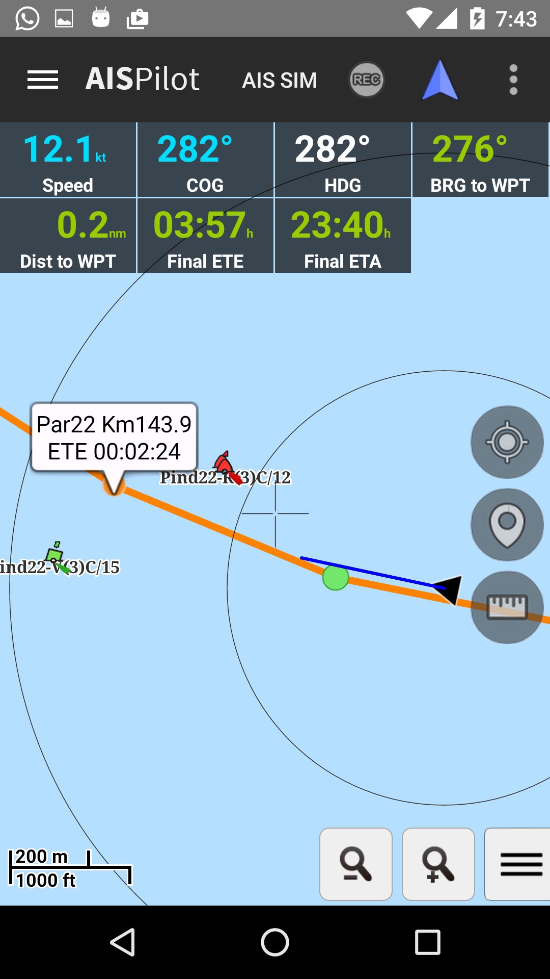
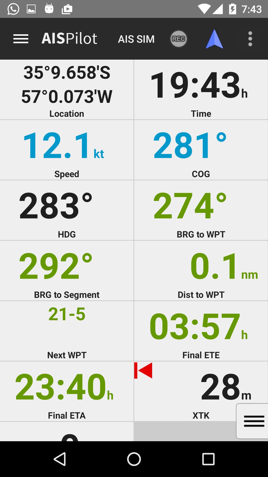
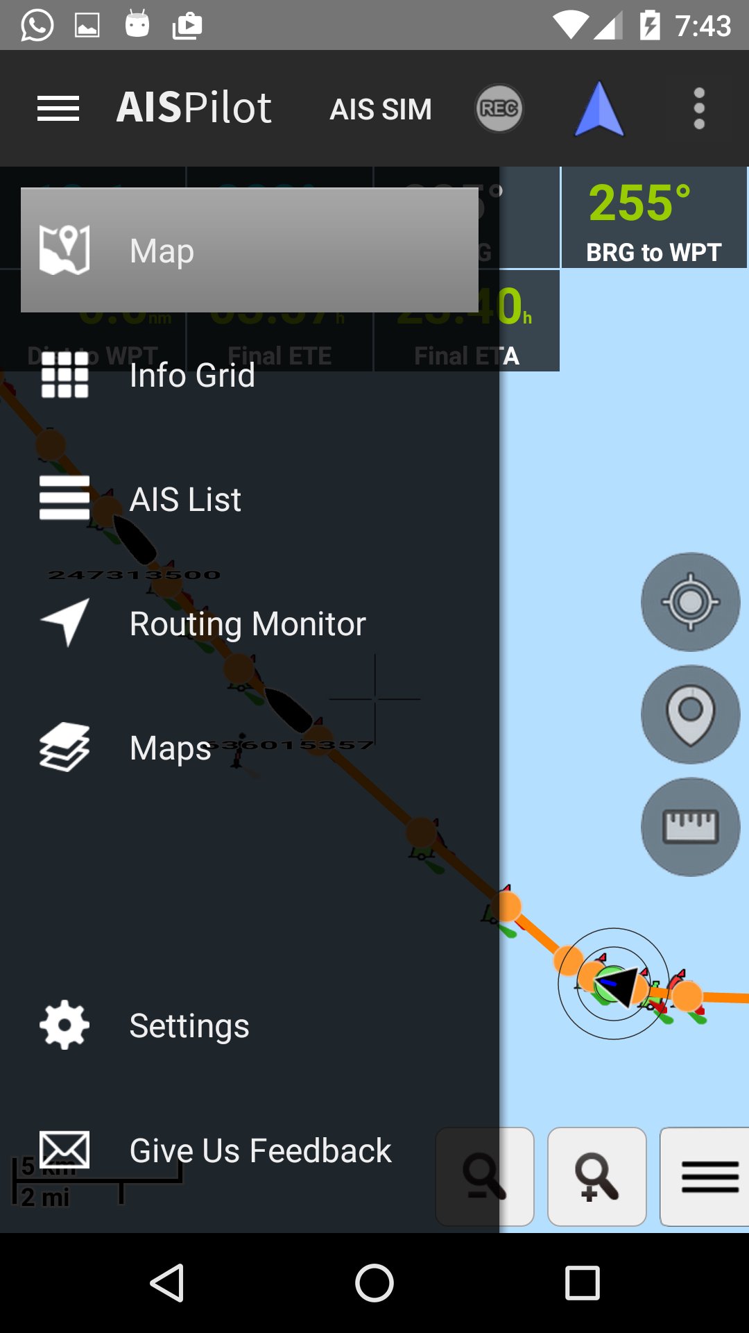
AISPilot is a gps navigator with support for AIS (Automatic Identification System). It works with offline maps from OpenSeaMap project.
The application provides real-time AIS data , supporting different sources, WIFI and Bluetooth AIS devices, GPS Bluetooth and Built-in GPS.
Highlighted Features:
- Real time AIS data
- Offline maps based on Open Sea Map project.
- Download of OpenStreetMap maps of every country in the world
- Conection to AIS transponders.
- Vessels monitoring in Real Time.
- Customizing the displayed informatión.
- Record of Tracks
- Record of Point of interests
- GPX Routes Navigation ascending or descending
- Meeting and overtake points
- CPA and TCPA calculations


 Download APK(23.94MB)