 Version
1.0
Version
1.0
 Package Name
com.davidgrossapps.lightningmap
Package Name
com.davidgrossapps.lightningmap
 Category
Practical Tools
Category
Practical Tools
 Size
2.23MB
Size
2.23MB
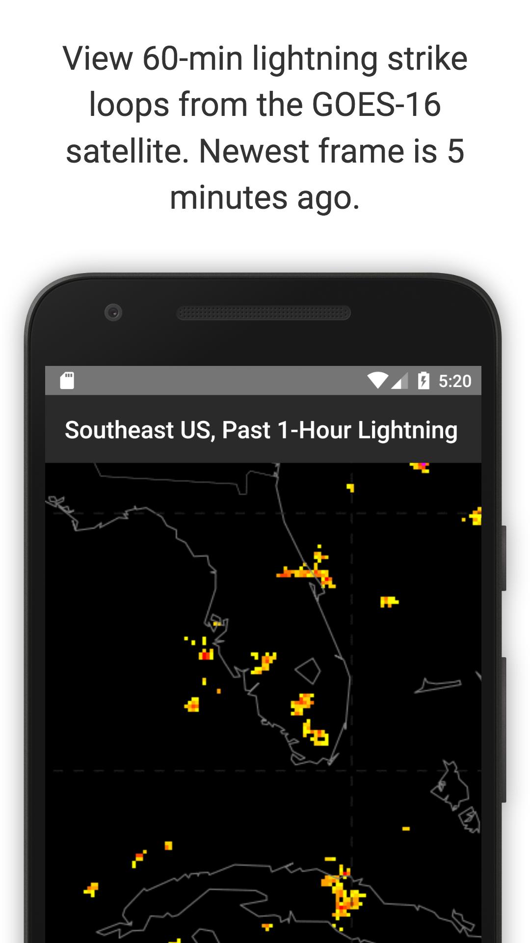
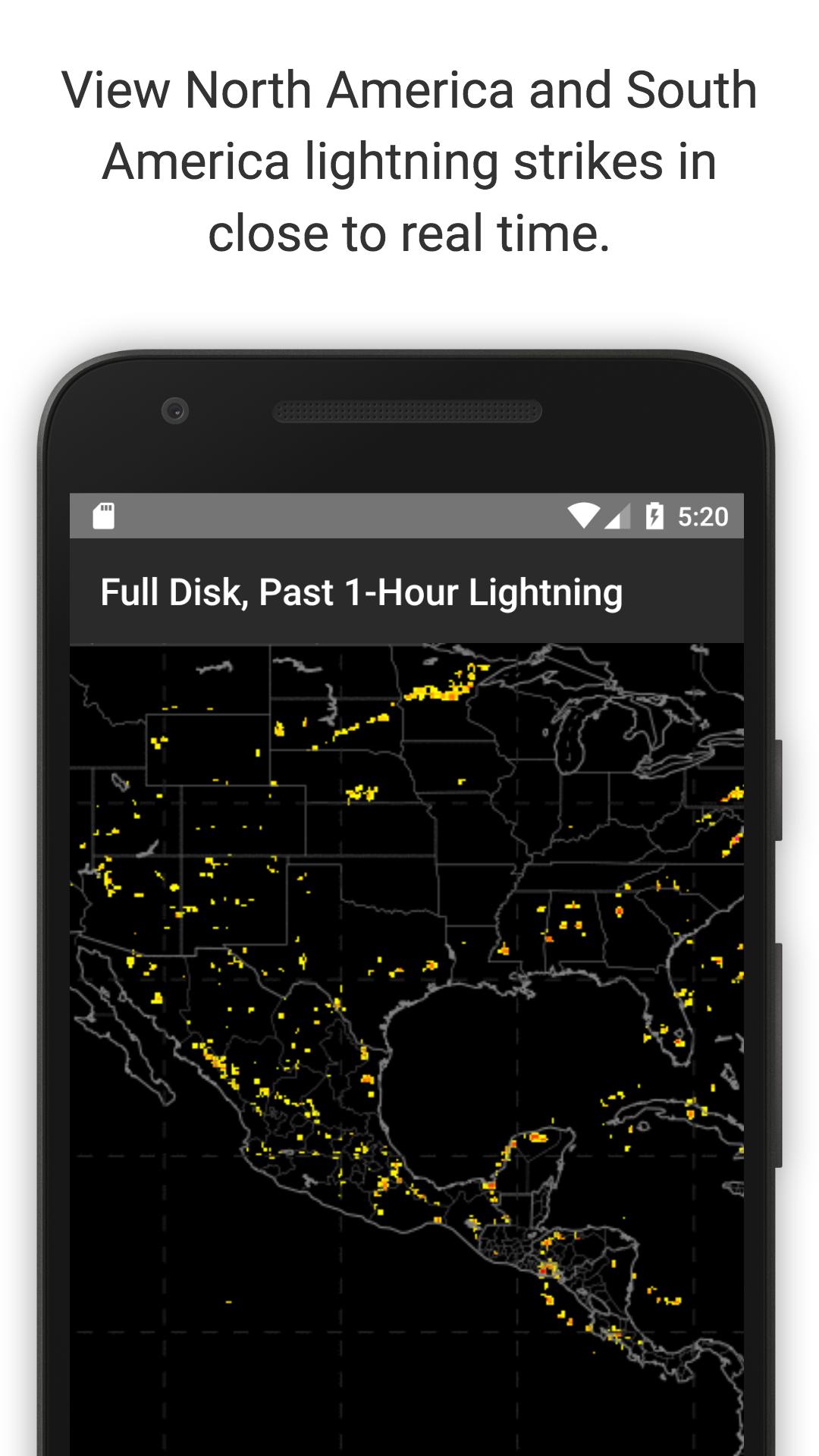
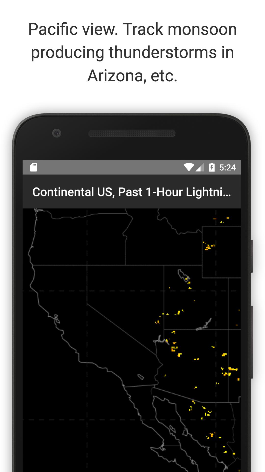
Satellite lightning maps with only 5 min lag. One-hour loops, one frame per min
Displays near real-time lightning flash observations from the GOES-16 GLM satellite.
Each loop shows the past one hour of data (approx. 60 frames). The most recent frame is usually less than 5 minutes old.
Measures total lightning (in-cloud, cloud-to-cloud, and cloud-to-ground).
Spatial resolution is 10 km.
The group density looks at aggregate flashes in a one minute time window and assigns a color code described in the bottom of the respective loop.
GOES: Geostationary Operational Environmental Satellite
GLM: Global Lightning Mapper
This app comes with no warranty.


 Download APK(2.23MB)