 Version
1.02
Version
1.02
 Package Name
com.fastchart.mapandchart
Package Name
com.fastchart.mapandchart
 Category
Travel
Category
Travel
 Size
13.53MB
Size
13.53MB
Fast detailed offline maps for the whole world
Features
• Low hardware requirements
• Very fast drawing
• High detail
• OSM vector maps and S57 (vector sea charts demo version)
• It works completely offline. No internet needed
• Download maps for 226 countries and more then 3000 administrative regions
• Select any rectangular area for downloading maps for all world
• You will have low Internet traffic due to the modern method of data compression (Berlin - 26.65 Мб, Madrid- 17.2 Мб, Moscow- 23.7 Мб, Germany- 1.33Gb, France - 1.34 Gb, Italy- 455.3 Мб, USA - 1.96 Gb, Planet ~ 11 Гб)
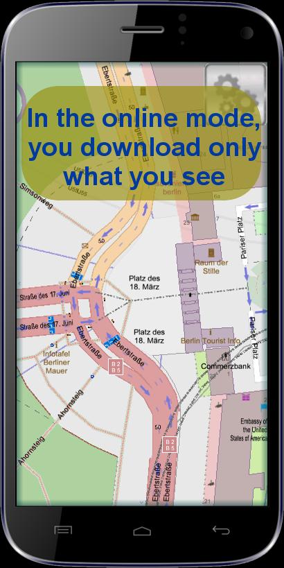
• In the online mode, you download only what you see
• The texts in local languages or English
• Displays more than 900 types of area and point features over 500 unique drawing
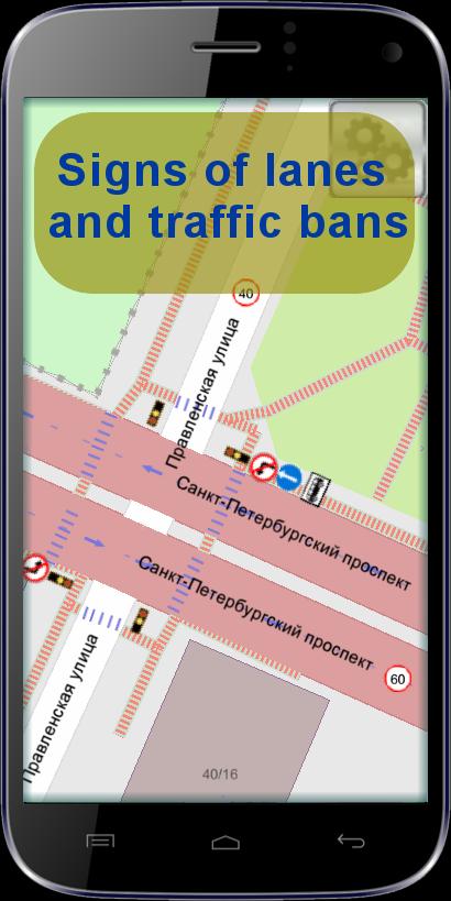
• Displays signs of lanes and traffic restrictions
• Displays information on public transport
• Information about the entrance of the building and apartment numbers
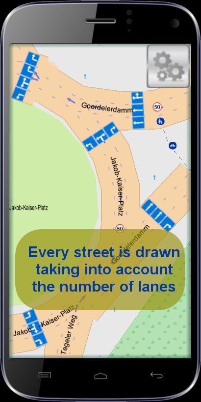
• Every street is drawn taking into account the number of lanes
• Information on the areal, linear and point objects at the selected point
• Smart search/filter displays results on the screen
• Displays GPS position and orientation
• Bookmarks of favorite places
• Routing, navigation
Soon
• Opening a local S-57 file
• Update OSM data every 5 minute


 Download APK(13.53MB)